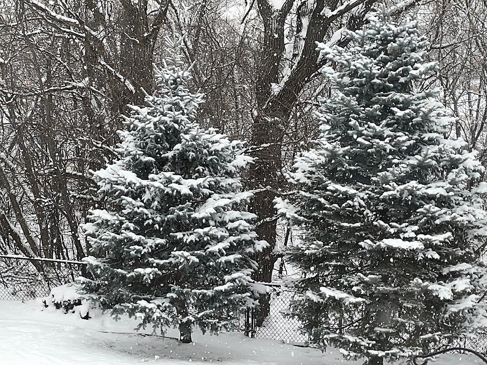
Accumulating Snow Possible Tuesday-Wednesday
Rochester, MN (KROC-AM News) - Anyone with travel plans in southeastern Minnesota is being advised to closely monitor the weather forecasts heading into next week.
The National Weather Service is tracking a developing weather system that has the potential for bringing accumulating snow to the region from late Monday night through Wednesday. Forecasters say it’s still too soon to predict where the heaviest snow will fall and it could shift significantly before the outlook becomes a bit more clear in the next day or so.
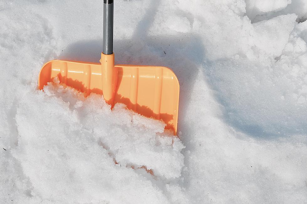
As it stands now (Sunday afternoon), the best chance of snow in the Rochester area will occur on Tuesday and Tuesday night with several inches of accumulation forecast. The National Weather Service is currently putting the risk of four or more inches locally as slight to moderate, while areas to the south along the Iowa border face a moderate to high risk.

More From KROC-AM