Flooding Problems Spreading in Southeastern Minnesota (UPDATED)
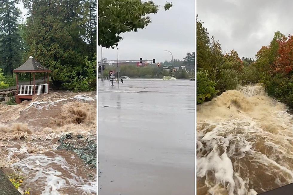
Rochester, MN (KROC-AM News) - A number of state highways and other roadways across southeastern Minnesota are being affected by rising water levels due to the melting snow and rain.
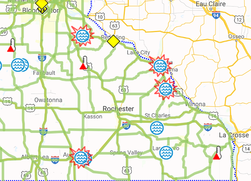
The Minnesota Department of Transportation has removed an advisory about high water levels on Highway 52 near Cannon Falls that was added to the agency's MN511 travel condition website. Water covering the roadway is still being reported on two sections of I-90 just east of Austin. MnDOT says water is covering a section of Highway 74 south of St. Charles and a portion of the same Highway from just north of Elba to Highway 61 is closed due to flooding this morning, as is a section of Highway 60 near Wabasha. Highway 16 from Lanesboro south to Highway 52 has also been closed because of high water along with numerous county and township roads throughout the region.
The following is a listing of the road closings in Olmsted County due to high water as of 1 PM Thursday:
-Oxbow Park-South Entrance has been Closed-Byron
-48th Street NE at the intersection of County Road 124
-County Road 24 near Wabasha County Road 2 by Elgin
-County Road 143 west of County Road 11 (3 Blocks Closed from Intersection)
-Re-Opened Olmsted County Road 21 by Wabasha and Olmsted County Line
A flood warning remains in effect along the middle fork of the Whitewater River in an near Whitewater State Park. At this point, minor flooding is predicted. The National Weather Service has also issued a flood warning along the Root River in Houston County from late this afternoon through Sunday afternoon.
News Update - Plan Calls For Removal of Rochester's Silver Lake Dam
More From KROC-AM


