Rochester, Surrounding Area, Included in Winter Storm Watch
Rochester, MN (KROC-AM News)- An early spring storm is set to bring rain, possible thunderstorms, and snow to the Rochester area this week.

The National Weather Service has issued a Winter Storm Watch for the region. It’s set to take effect at 7 p.m. Friday and expire at 1 p.m. Saturday.
The storm system is expected to reach the Rochester area by Friday afternoon in the form of rain. The Storm Prediction Center says Rochester and Austin are in a level one risk for severe weather, communities along the Minnesota-Iowa boarder have a level 2 risk most of northern Iowa is in a level three risk, while communities further south are in a level four severe weather risk.
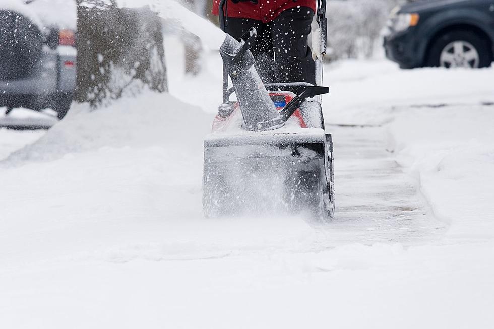
Forecasters say rain is expected to transition into a heavy, wet snow by Friday evening. As of Thursday morning, officials say there’s a 59% chance for Rochester to get at least four inches of snow, however they caution that confidence for the predicted snowfall is low.
The Winter Storm Watch, issued Wednesday night, predicts 3-6 inches of snow for Rochester and other communities south of the I-94 corridor while communities north of the interstate could get 6-10 inches. The forecast is also calling for 35-45 mph wind gusts that could cause blowing and drifting snow in open areas across the Rochester region on Saturday.
The watch advises travelers to brace for slippery to hazardous road conditions and reduced visibilities through Saturday afternoon. For real-time road conditions, along with other weather-related announcements, check the KROC News App.
Amazing Northern Lights Spotted in Southeast Minnesota (PHOTOS)
More From KROC-AM


