(UPDATE) Rochester Included in Winter Weather Advisory

Rochester, MN (KROC-AM News) - Old man winter is apparently not done with us.
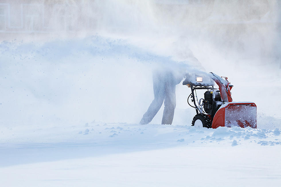
The National Weather Service is tracking a complex storm system that is expected to move into the region tomorrow and deliver a dose of winter-like weather through Monday morning. As of Saturday afternoon, forecasters were predicting a relatively narrow band of snow to develop and affect an area running from the southeastern corner of Minnesota into western Wisconsin.
The precipitation is forecast to begin as rain before shifting to a freezing mix and then all snow. The timing of that shift will greatly impact snowfall totals in specific locations. The most recent predictions from the National Weather Service indicate the highest accumulations, which could exceed 15 inches, will be in southwestern Wisconsin.

The National Weather Service says the Rochester area and most areas of southeastern Minnesota could see anywhere from 1 to 6 inches of slushy accumulation. Forecasters say higher amounts are possible in areas closer to the Mississippi River. The forecast for Winona calls for 3-9 inches of accumulation, while La Crosse is in an area where snowfall totals could reach nearly a foot by Monday morning.
The storm system is also expected to produce strong northwest winds. The National Weather Service says gusts in the 35 to 45 mph range would likely reduce visibility and make the expected slippery conditions even more difficult.
Whatever snow does fall on the region will likely vanish fairly quickly. The forecast for Monday in Rochester calls for partly sunny skies and a high in the mid-40s followed by sunny skies on Tuesday with a high in the mid-50s.
More From KROC-AM