Winter Storm Warning Posted for Rochester Area
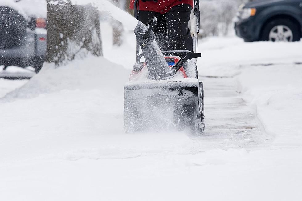
Rochester, MN (KROC-AM News) - It appears Rochester is in the bullseye for the next spring snowstorm to hit Minnesota. The National Weather Service has issued a Winter Storm Warning from 1 a.m. Tuesday through 4 a.m. Wednesday for the southeast corner of the state, a section of south-central Minnesota, and portions of west-central Wisconsin.
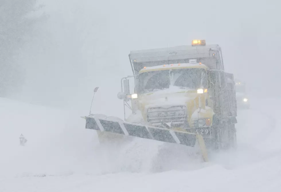
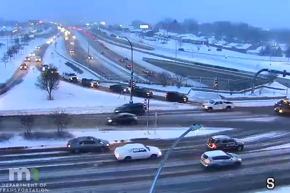
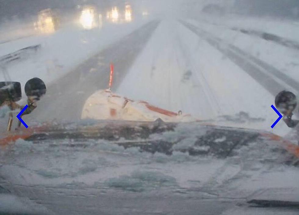
The latest forecasting models put the heaviest band of snow on the Rochester area, with the National Weather Service predicting 6-10 inches of accumulation throughout the region, while some areas could see close to a foot of snow before the storm ends. At this point, some of the worst travel conditions are expected to occur during the morning commute on Tuesday with the snow accompanied by north winds gusting to 30 miles-per-hour.
It may take more than a few days to melt the snow from the storm. Forecasters are predicting high temperatures will range from the upper 20’s into the mid to upper 30’s into next weekend.
Get local and national news on the go. Download our News-Talk 1340 KROC-AM App http://krocam.com/app/ – available on Apple and Android devices.
More From KROC-AM