Winter Storm Watch for SE Minnesota – Friday Could be Rough

Rochester, MN (KROC-AM News) - The National Weather Service has included the Rochester area in a winter storm watch from midnight Thursday night through 9 AM on Saturday.
The watch area covers the southeastern corner of Minnesota, the entire state of Iowa, the southern three-quarters of Wisconsin, and northern Illinois. At this point, forecasters are indicating the Rochester area could end up on the northern edge of a powerful storm system that could produce snowfall totals that could be well over a foot.
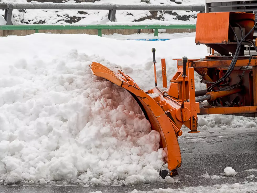
The National Weather Service says a strong low-pressure center will develop over the southern plains on Thursday and is expected to track toward the mid-Mississippi Valley on Friday and into the Great Lakes region on Saturday. Not only is the storm expected to produce heavy snow, it will also likely be accompanied by strong winds as the low-pressure center pulls Arctic air down into the upper Midwest over the weekend.
Forecasters say there is a potential for more than a foot of snow in extreme southeastern Minnesota, while the Rochester area is currently near the dividing line between areas that have the potential to see between 4-12 inches or 6-14 inches of snow. The heaviest snow from the storm is expected on Friday.
Meanwhile, a fast-moving “clipper” system is forecast to march through the region this evening. The National Weather Service says it should produce less than an inch of accumulation in the Rochester area, but slick travel conditions could develop.
More Minnesota News:
- Arrest Warrant Issued For Rochester Drug Trafficking Suspect
- Snow Apparently Was Not a Factor in Deadly Minnesota Crash
- Life-Threatening Crash at Rochester Intersection Leads to Charges
LOOK: Minnesota's 25 Most Fatal Highways
Gallery Credit: Stacker
More From KROC-AM