Blizzard Warning For Parts Of SE Minnesota

La Crosse, WI (KROC AM News) -A balmy December morning in southeast Minnesota will become a tough afternoon for motorists.
The National Weather Service has issued a blizzard warning for parts of the region, including Rochester.
Here is the latest message from the NWS:
.Deteriorating conditions expected throughout today as rain
develops this morning and early this afternoon, but will quickly
changes to snow as cold air moves in from the northwest.
Accumulations from half an inch up to four inches are expected.
Any liquid remaining on surfaces may freeze with temperatures
decreasing rapidly throughout the afternoon, and untreated
surfaces will become slippery. Strong winds will be gusting from
35 to 50 mph from the northwest. Although the snow accumulations
are expected on the lighter side, the combination of light snow,
strong winds, and rapidly decreasing temperatures will impact
afternoon and evening commute and holiday travelers.
...BLIZZARD WARNING IN EFFECT FROM 3 PM THIS AFTERNOON TO 2 AM
CST THURSDAY...
* WHAT...Blizzard conditions expected. Total snow accumulations of
1 to 4 inches and ice accumulations or freezing of moisture on
roads to a light glaze. Winds gusting as high as 50 mph.
* WHERE...Dodge, Olmsted and Mower Counties.
* WHEN...From 3 PM this afternoon to 2 AM CST Thursday.
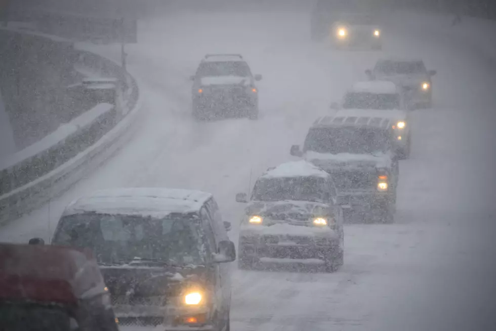
* IMPACTS...Widespread blowing snow will significantly reduce
visibility with white-out conditions at times. Plan on slippery
road conditions. The hazardous conditions will impact the
evening commute and holiday travelers. Gusty winds could bring
down tree branches with power outages. Any liquid that remains
on untreated surfaces will freeze, creating slick travel
conditions. Cold wind chills as low as 25 below zero could
cause frostbite on exposed skin in as little as 30 minutes.
NEW PHOTOS: Best Christmas Light Displays in Rochester & Southeast Minnesota
More From KROC-AM