Blizzard Warning For Rochester Area Canceled
Rochester, MN (KROC-AM News) - The National Weather Service has dropped the blizzard warning that had been in effect across southeastern Minnesota and has replaced it with a winter weather advisory through 6 AM Saturday.
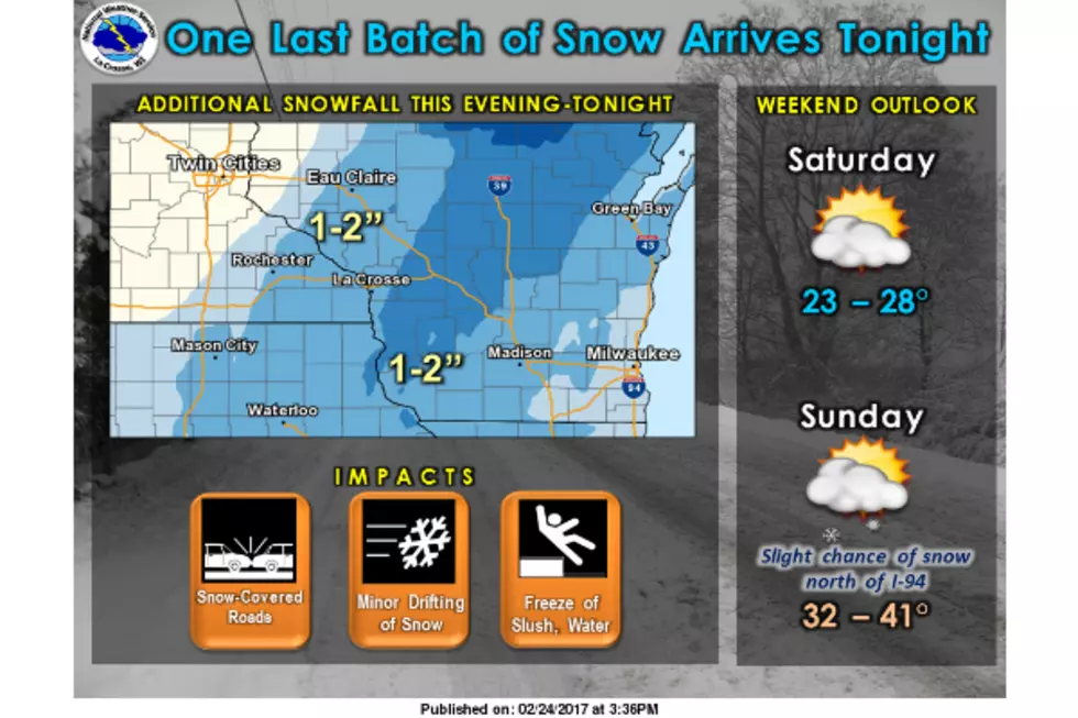
Forecasters say the heavy and wet make up of the snow that fell across the region starting late Thursday night reduced the amount of blowing snow produced by the gusty winds that accompanied the snowstorm. Some additional snow, perhaps one or two inches, is possible before the storm system moves away from the region tonight and treacherous travel conditions remain a possibility.

The storm produced a relatively narrow band of very heavy snow that fell on Rochester. While about eight inches was reported at the Rochester Airport, many other areas of Rochester saw around a foot of new snow. It appears the highest snowfall totals were in Kenyon and near Zumbrota at 14 inches.
A snow emergency remains in effect in Rochester. Motorists are urged to find off-street parking while snowplow crews remain busy cleaning the deep snow from city streets and no parking signs have been posted throughout downtown Rochester, where vehicles will be ticketed and towed away if they are left parked on the posted roadways tonight. Odd-even parking rules are in effect in all other parts of the city.
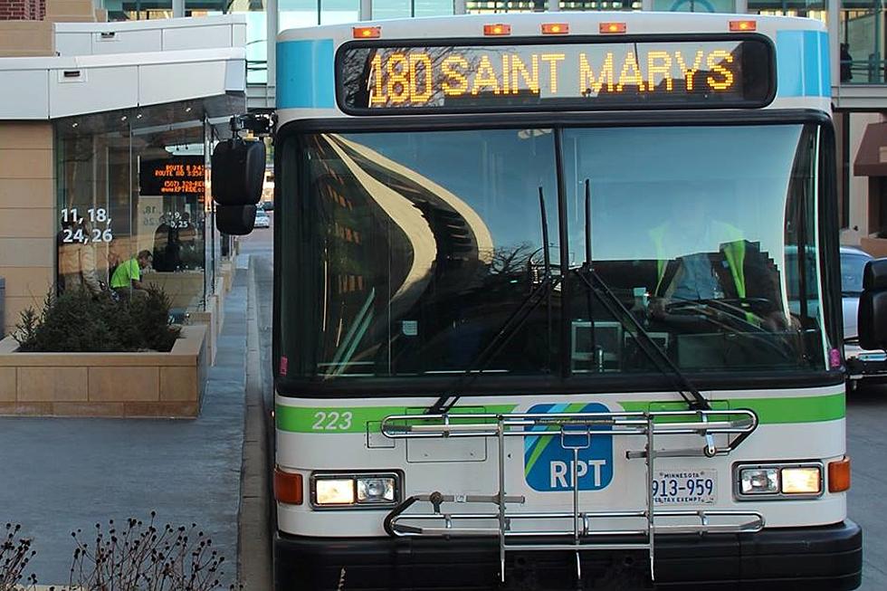
The snowstorm also kept the city’s public bus fleet parked today. Rochester Public Transit suspended it service this morning, and later announced that all of its routes had been canceled for the entire day because of safety concerns. Normal operations on the fixed routes and the ZIPS service will resume tomorrow.
More From KROC-AM