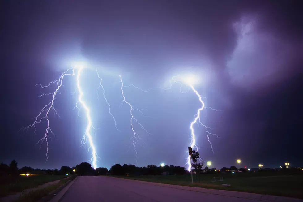
First Tornado Watch of the Season for Rochester Area

Rochester, MN (KROC-AM News) - The air mass responsible for today's near-record warmth is sent to collide with a mass of cooler air that could give birth to some severe storms across parts of Iowa, southern Minnesota, and Wisconsin.
In a true sign of spring, the National Weather Service this afternoon issued the Rochester area's first Tornado Watch of the season. It will be in effect until 8 PM throughout the southeast corner of the state, a small section of south-central Minnesota, a small area in western Wisconsin, and a large area of northern Iowa. In addition, a wind advisory has been issued for this region from 5 PM until midnight because of the possibility of winds gusting as high as 45 miles per hour.
After yesterday's record high of 61 degrees, the unofficial high-temperature today at the Rochester Airport was 60 degrees, which is just three degrees shy of the record for March 10 that was set in 1977.
News Update: Rochester Subway Robbery Suspects Arrested
13 Things Minnesotans Should NOT Do When It is Below Zero
More From KROC-AM


