Midweek Storm Will Dump Heavy Snow on Minnesota, Wisconsin, and Northern Iowa
*This story was updated on Sunday 2/19 with new snowfall total predictions.
Mother Nature is teasing us with early spring-like conditions. I've had this day circled all week and plan to make a trip to Ye Olde Butcher Shoppe to check out the new owners and find something to throw on the smoker. I'm sure a lot of people will be heading outside to enjoy the sunshine and warmer temps. For many of us the high temps are expected to reach the low to mid 40s today.
Unfortunately, this nice weather won't last in Minnesota, Wisconsin, and Iowa. Colder air will return this week along with a storm that could cover the region with heavy snow. The National Weather Service has offices in La Crosse, Des Moines, and the Twin Cities and they're all tracking this midweek storm.
The National Weather Service is tracking a winter storm that could lead to difficult travel conditions, school cancellations, and sore backs.

Read what the National Weather Service Teams from Des Moines, La Crosse, and the Twin Cites are saying below.
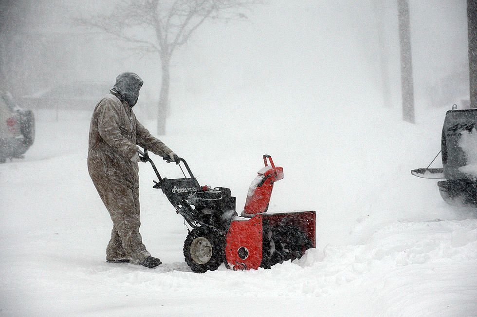
Spoiler: Today would be a good day to get ready and make sure you have gas for your snowblower.
Heavy Snow Is In The Forecast For Minnesota, Wisconsin, and Iowa
Saturday morning, The NWS in Des Moines provided this update on its Facebook page.
"A more active weather pattern is setting up for Tuesday through Thursday next week. During this time frame, a period of precipitation chances is expected with the highest chances for accumulating snow and winter travel impacts over northern Iowa."
Their team says it's too early to predict snowfall totals, but did say this storm is on a path to hit the northern edge (especially the NW corner) of Iowa.
Below you'll see what the weather experts in Wisconsin and Minnesota are calling for.
Heavy Snow Is In The Forecast For Minnesota, Wisconsin, and Iowa
The National Weather Service in La Crosse also provided an update on social media on Saturday morning.
Their team is pretty confident that it is going to snow in Wisconsin. A 70-80% chance of impactful snow is forecasted in the darker blue area on the map below.
As you can see a large portion of Wisconsin is forecasted to get heavy snow which would make travel difficult and possibly dangerous.
Heavy Snow Is In The Forecast For Minnesota
The NWS team in the Twin Cities doesn't want to predict snowfall totals yet, but they did release a map and it looks like Minnesota is going to get blasted.
They say blowing snow will also be a factor and could lead to blizzard conditions across parts of the region.
How Much Snow Will Fall in Minnesota, Iowa, and Wisconsin?
I looked up 3 towns to see how much snow the Weather Channel is predicting with this midweek storm. (Updated on 2/19)
Rochester, MN: 3-5 inches on Tuesday night, 6-11 inches Wednesday and Wednesday night, 1-3 inches on Thursday.
Spencer, IA: 4-8 inches on Wednesday and Wednesday with another inch on Thursday.
Wausau, WI - 3-5 inches on Tuesday night, 6-11 inches Wednesday and Wednesday night, 3-5 inches on Thursday.
BRRRR: The 15 Coldest Cities in America
More From KROC-AM