Nasty Winter Storm Set to Arrive in Minnesota Wednesday Evening

Rochester, Mn (KROC-AM News) - Officials are already advising that travel conditions could become very dangerous and even impossible over the next several days.
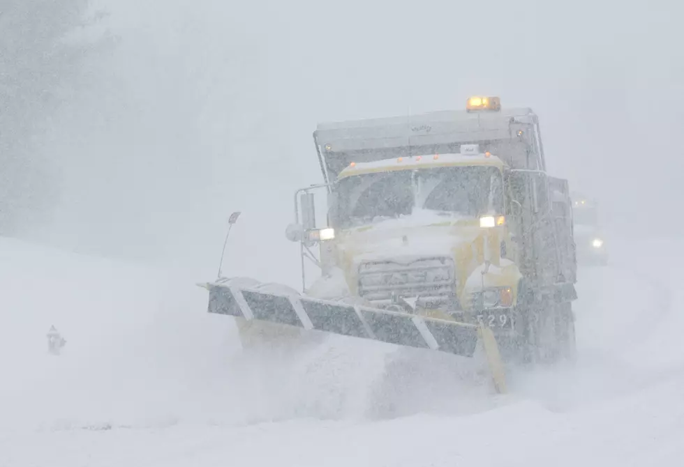
The Rochester area is included in what is now a Winter Storm Warning from 6 PM on Wednesday through 6 AM on Saturday. The warning area covers much of the southern two-thirds of Minnesota, while a blizzard warning this posted for portions of south-central and western Minnesota.
The National Weather Service is predicting between 4-8 inches of snow throughout the warning area with most of the accumulation taking place Wednesday night and into Thursday. Locally higher snowfall totals are possible.
The heavy snow is forecast to be followed by howling northwest winds starting Thursday and continuing into Saturday. The National Weather Service is expecting sustained winds of 20-30 mph with wind gusts of 40-50 mph. That will likely create whiteout/ blizzard conditions along with dangerous wind chills of 30 to 40 below zero until the winds calm down on Christmas Eve.
At this point, the National Weather Service is advising against unnecessary travel once the storm arrives and is recommending delaying all travel if possible.
The Rochester Public Schools has already announced that school has been canceled on Thursday, which means tomorrow will be the final day for classes before the start of the winter break on Friday.
LOOK: The most expensive weather and climate disasters in recent decades
More From KROC-AM


