Southeastern Minnesota Included in Tornado and Flood Watches
Rochester, MN (KROC-AM News) - The Rochester area and other parts of southeastern Minnesota are included in a tornado watch through 10 p.m.
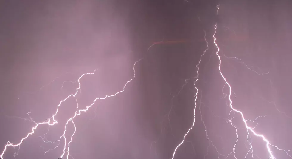
The National Weather Service says strong to severe thunderstorms could move across the region from west to east through this evening. The main risk is damaging winds, with the potential for the development of tornadoes.
The tornado watch area also extends into south-central Minnesota, far northern Iowa, and parts of western Wisconsin.
Forecasters say the weather system could also produce heavy rainfall, with rates of 1 to 3 inches per hour. With the potential for several rounds of showers and thunderstorms throughout the region, the National Weather Service has also issued a Flood Watch for southeastern Minnesota, western Wisconsin, and parts of northeast Iowa.
Forecasters say rainfall totals of 1 to 3 inches are expected, and localized amounts of 3 to 5 inches are possible in areas that experience repeated storms, potentially causing flash flooding. The Flood Watch will remain in effect until 7 a.m. on Thursday.

The current forecast for southeastern Minnesota says showers and thunderstorms are likely through tomorrow night before drier air moves in on Friday, when partly cloudy skies are expected and highs in the upper 70s.
More Minnesota News:
- Ex-Owatonna School Custodian Sentenced in Child Porn Case
- Suspect Arrested for Shooting at Rochester Apartment Complex
- Alcohol Use Suspected in Fatal Minnesota Motorcycle Crash
Minnesota Disaster Survival Kit
Gallery Credit: Troy Dunken
More From KROC-AM


