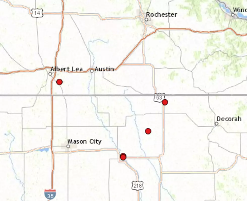
Tornadoes in NE Iowa, SE Minnesota; Record Rain in Rochester
Rochester, MN (KROC AM News) – It was a stormy ending to the Memorial Day weekend for residents in NE Iowa and parts of SE Minnesota as strong storm cells produced tornadoes and heavy rain.
The National Weather Service has received reports of widespread damage in NE Iowa between Charles City and Lime Springs. There is a report of extensive damage to the Floyd County Fairgrounds where a suspected tornado touched down around 12:30 PM Monday. The damage included destroyed buildings. Some nearby houses were also damaged. The NWS says survey crews assessed the damage and rated the twister at high-end EF-1, with maximum winds in the 100-110 mph range.
There was also a report of a tornado on the ground near the town of Elma at 1:30 PM and a short while later, another twister was reported in Lime Springs. The report indicates there was roof, home and tree damage, and downed power lines. Law enforcement reported “house to house searches were being conducted” in the town located near the Minnesota border.
A tornado was reported on the ground around 2:00 PM in SE Minnesota near the Fillmore County town of Carimona and it was moving north toward Preston, Fountain, Chatfield, and Pilot Mound. That led to a tornado warning from there northward through SE Olmsted County but there have been no reports of tornadic activity from that area.
There was also a report of a tornado near Glenville in Freeborn County around noon Monday. Some large trees were knocked down and power outages were reported.
Meanwhile, heavy rain has led to rising rivers and streams across SE Minnesota, causing high water problems.
The Monday rainfall total at the Rochester airport as of 3:00 PM was over 3 inches. This not only shattered the previous record for May 27 but is also the second-highest daily total for the month of May.
It appeared rain was moving out of the Rochester area as of 3:00 PM. Although dry weather is expected Tuesday, more rain is in the forecast for Tuesday night and Wednesday.
More From KROC-AM


