Torrential Rains and Near Hurricane Force Winds Visit SE Minnesota
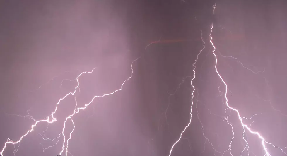
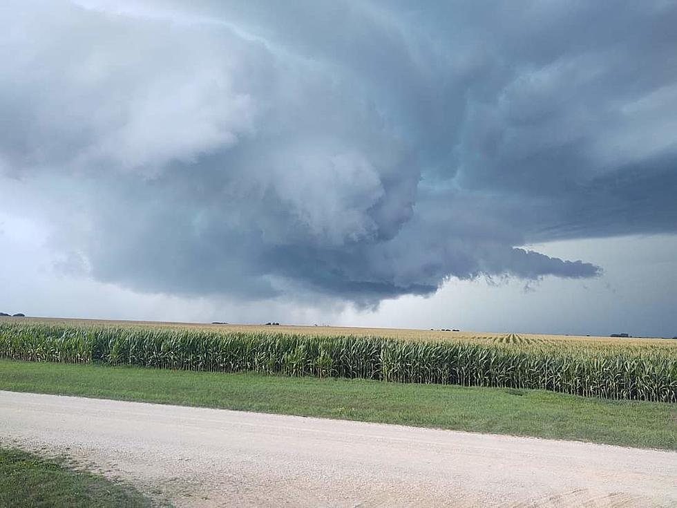
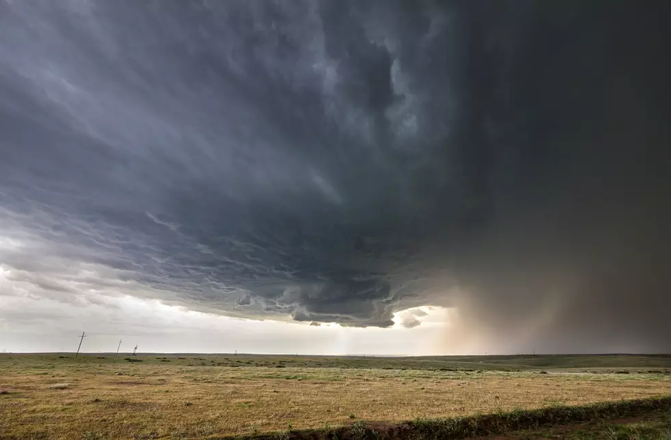
Rochester, MN (KROC-AM News) - Major power outages, street flooding, and nearly hurricane-force winds have been reported today across southeastern Minnesota. The entire region is under a tornado watch until 10 PM and a flash flood watch remains in effect until 1 AM Friday because the National Weather Service’s prediction of another stormy day proved accurate.
In Rochester, a majority of the eastern half of the city was hit by a power outage while a strong storm was moving across the city. Rochester Public Utilities crews were quick to respond and had power restored to most of the thousands of affected customers in less than an hour. The purple in the map below signifies the areas without power near the peak of the outage.
The heavy rains caused some street flooding and prompted the Minnesota Department of Transportation to barricade a section of I-90 after water covered the freeway. A flood warning was posted for the Austin through 7 PM.
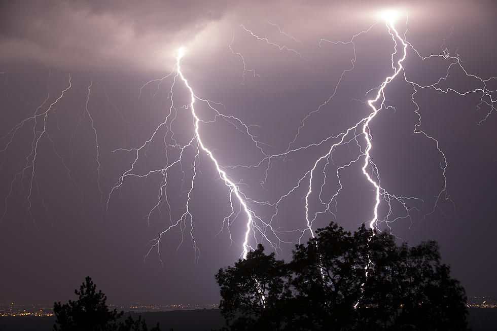
Severe thunderstorm warnings were issued for portions of Fillmore and all of Houston Counties after the storms produced wind gusts above 70 miles per hour. There was also a report of a house fire caused by a lightning strike in Winona County.
The heavy rains have the City of Rochester very close to setting a new annual precipitation record even through the end of the year is over 3-months away. As of noon, the rainfall total for this week had reached 3 inches at the Rochester Airport, which boosted the precipitation total since January 1st to 41.82 inches. The current record for precipitation was set in 1990 at just under 44-inches and since noon, unofficial reports indicate another inch of rain has fallen at the airport, while over an inch was recorded by the National Weather Service at the Mayo One helipad at St. Marys Hospital.
News Update: Minnesota's Obesity Rate Is Now Above 30%
More From KROC-AM
