Severe Thunderstorms Possible in Rochester, SE Minnesota Monday
Rochester, MN (KROC-AM News)- The National Weather Service is tracking a storm system they say is capable of producing severe weather in Rochester and throughout southeast Minnesota.

Monday’s forecast calls for a sunny day with high temperatures expected to range from the mid 80's to lower 90’s. Forecasters say a cold front is expected to sweep across the area Monday that is likely to produce scattered thunderstorms.
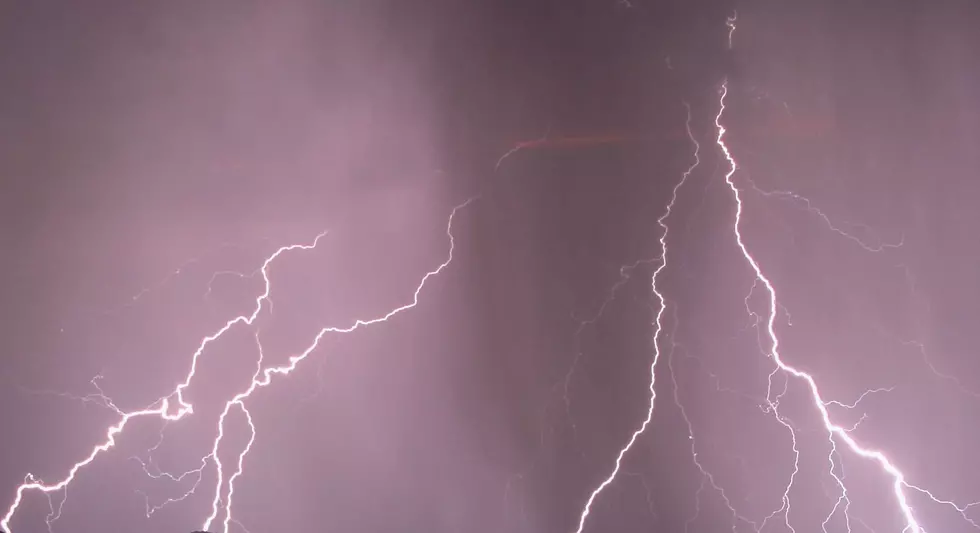
The Storm Prediction Center places Rochester along with all of southern Minnesota, northern Iowa and western Wisconsin in a level two severe weather risk. Officials say there’s a 20-40% chance of thunderstorms developing Monday afternoon and predict the storm chance will increase to 60-80% as the system moves southeast with some of the storms possibly becoming strong or severe.
The main hazards from the potential severe storms are damaging winds and large hail. There’s also a chance for heavy rain.
The window for the best chance of severe weather in the Rochester region is from 4-10 p.m., according to the National Weather Service.
More From KROC-AM